110°

A Detailed View of the Ground with 30-centimeter Satellite Imagery

Satellite imagery at 30-centimeter resolution provides the clearest, most detailed view of the ground from space. With 30-centimeter resolution you have greater detail for imagery analysis, and more information for mapping features on the ground. The detail available is unseen in any previous commercial satellite image, setting the new standard for commercial resolution.

Read Full Story >>
spacenews.com
Create Report !X

Add Report

Reports

+ Updates (1)- Updates (1)

Updates

Changed from Pending to Approved
Community3339d ago
70°

James Webb Space Telescope finds 'extremely red' supermassive black hole growing

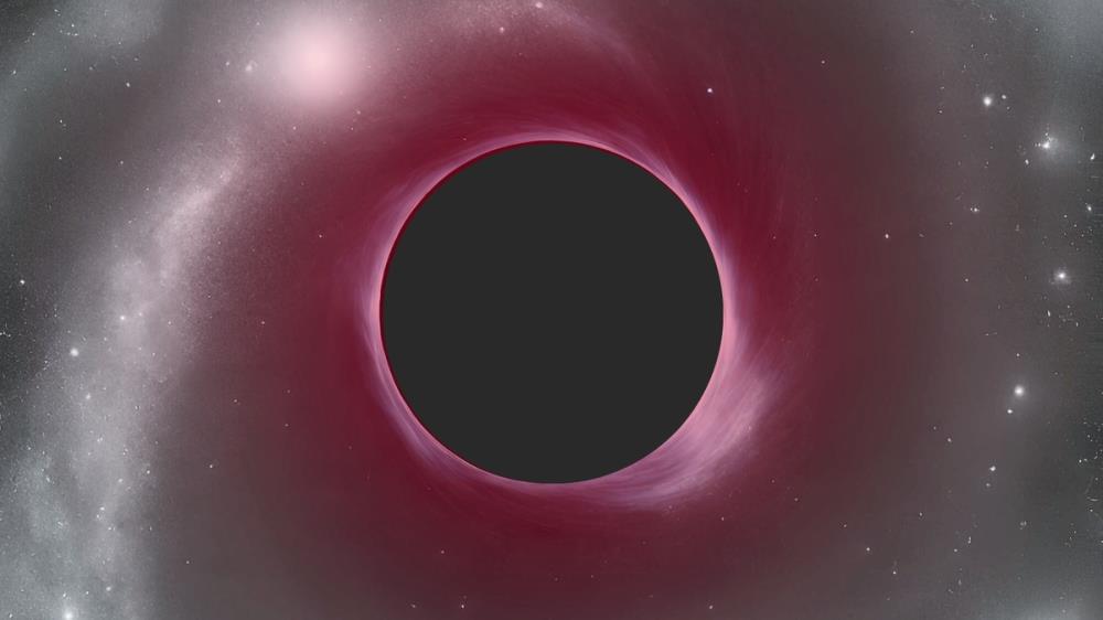
The supermassive black hole is 40 million times as massive as the sun and powers a quasar that existed 700 million years after the Big Bang.

Create Report !X

Add Report

Reports

+ Updates (1)- Updates (1)

Updates

Changed from Pending to Approved
Community59d ago
70°

NASA radar images show stadium-sized asteroid tumbling by Earth during flyby

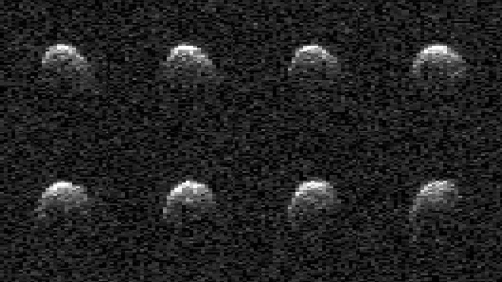
The asteroid zoomed by Earth at a perfectly safe distance of around 1.8 million miles (2.9 kilometers).

Create Report !X

Add Report

Reports

+ Updates (1)- Updates (1)

Updates

Changed from Pending to Approved
Community59d ago
70°

Radar images reveal damage on Europe's doomed ERS-2 satellite during final orbits

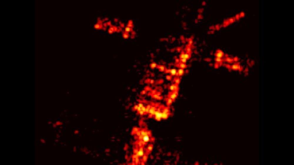
Images show surprise changes to the spacecraft as it interacted with the atmosphere.

Create Report !X

Add Report

Reports

+ Updates (1)- Updates (1)

Updates

Changed from Pending to Approved
Community62d ago